Neighbourhood News
A civic information platform that turns fragmented Vancouver Open Data into neighbourhood-specific updates people can actually use.
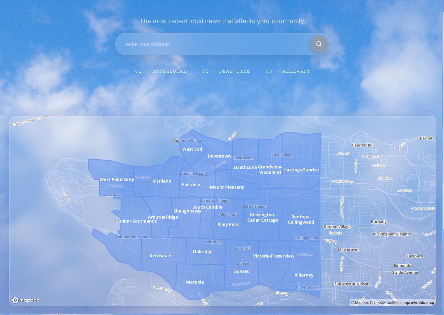
Screens
Overview
We reframed a massive amount of public civic datasets into a local awareness tool. Helping residents see nearby road closures, city projects, service requests, permits, and council activity through one searchable neighbourhood feed.
Problem
Vancouver publishes a ton of civic data, everything from road closures to upcoming construction. Yet this information is spread across open-data endpoints and is difficult to interpret at a local level. Residents need a simple and easy way to interact with this data.
Approach
To combine and query this data well, we built an automated ETL pipeline using GitHub Actions to ingest Vancouver Open Data records on a scheduled basis, transform them into a shared event format, and keep the database current without manual updates.
The backend used FastAPI with PostgreSQL and PostGIS so civic events could be stored with temporal, categorical, and geographic structure..
I implemented idempotent upsert logic to prevent duplicate records across repeated data pulls, allowing the system to safely process evolving open-data sources over time.
Geospatial matching was handled directly in the database with PostGIS, mapping events to neighbourhood boundaries without pushing spatial logic into the application layer.
The API exposed practical filters for date range, event type, and neighbourhood, making the data useful for a frontend experience focused on local context rather than raw civic records.
Learnings
- A strong data model matters more than a flashy interface. Utilizing powerful opensource tools with extensions created a great experience building and maintaining this dataset.
- Automated ingestion needs strong guardrails, as it only works if repeated runs are safe and resistant to duplicate data.
- Civic datasets can provide more valuable when they are organized around communities
Notes